How Does GPS Work? The Science Behind Knowing Your Location
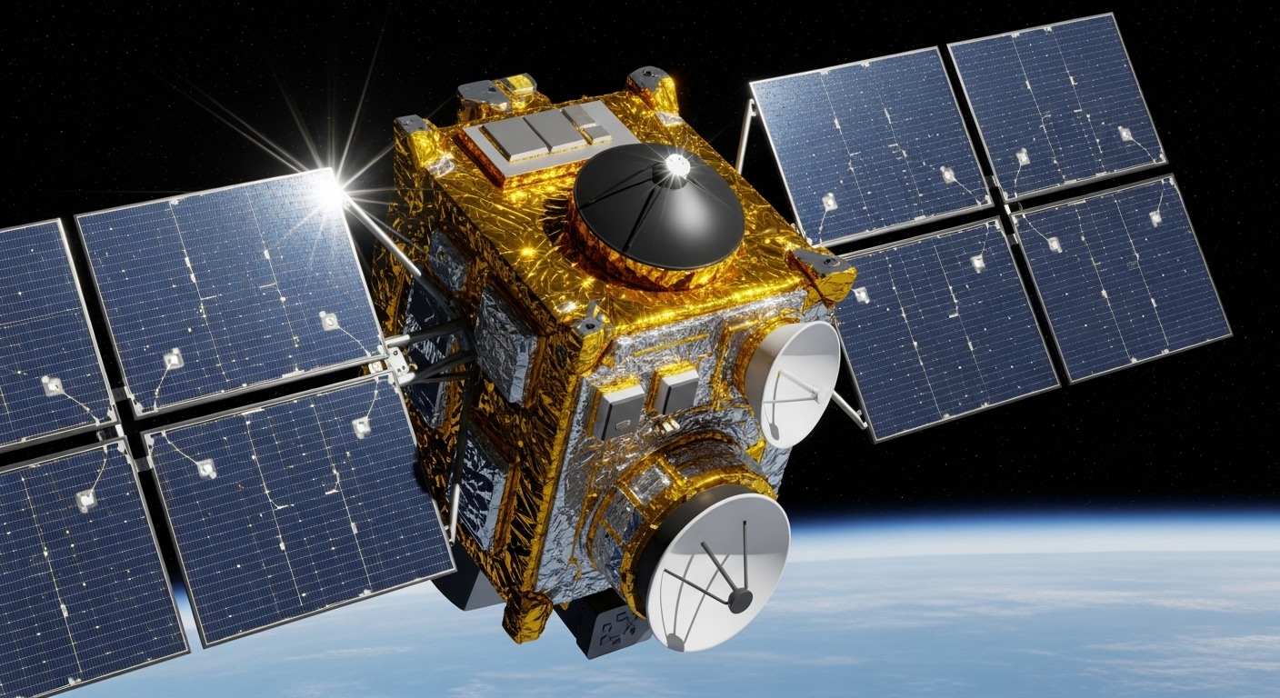
Your phone knows you're standing outside a coffee shop on a specific street corner, in a specific city, to within a few meters — and it figured that out in about three seconds. GPS has become so seamlessly embedded in daily life that most people never stop to ask how a device in your pocket can pinpoint your location on a planet with a circumference of roughly 40,000 kilometers. The answer involves atomic clocks, Einstein's theory of relativity, and a constellation of satellites orbiting at about 20,000 kilometers above your head.

What GPS Actually Is — Beyond the Map on Your Screen
A System Built for the Military, Adopted by Everyone
GPS stands for Global Positioning System, and it was developed by the United States Department of Defense. The system reached full operational capability in the mid-1990s, though it had been in development since the 1970s. For years, civilian access was deliberately degraded — a feature called Selective Availability that introduced intentional errors into the signal. That restriction was switched off in 2000, and overnight, civilian GPS accuracy improved dramatically.
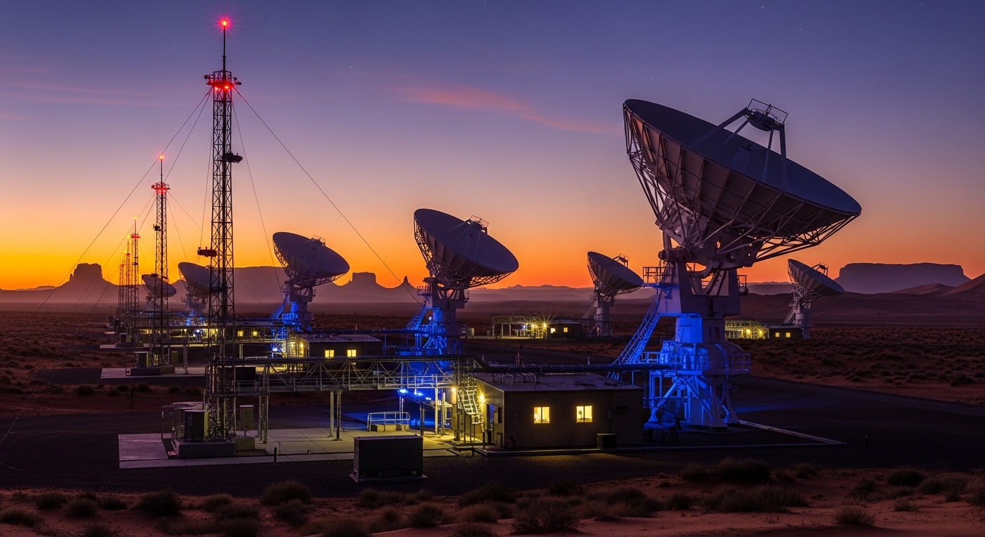
The system consists of three segments: the space segment (the satellites), the control segment (ground stations that monitor and correct the satellites), and the user segment (your phone, your car's navigation unit, your hiking watch). Most people only ever interact with the third segment, which makes the whole thing feel like magic rather than engineering.
Other countries have built their own versions. Russia operates GLONASS, the European Union runs Galileo, and China has BeiDou. Modern smartphones typically receive signals from multiple constellations simultaneously, which improves both accuracy and reliability — especially in dense urban environments where buildings can block signals from some satellites.
How GPS Calculates Your Position — The Geometry of Time
Trilateration: It's Not Triangulation
The core mechanism is called trilateration, not triangulation — a distinction that matters. Triangulation uses angles. Trilateration uses distances. Each GPS satellite continuously broadcasts a signal that contains two key pieces of information: the satellite's precise location in space, and the exact time the signal was sent. Your receiver picks up that signal, notes the time it arrived, and calculates how long the signal took to travel. Since radio waves move at the speed of light (roughly 299,792 kilometers per second), the travel time translates directly into distance.
One satellite gives you a sphere of possible locations — you're somewhere on the surface of that sphere. A second satellite gives you another sphere, and the intersection of two spheres is a circle. A third satellite narrows that circle down to two points. One of those points is usually somewhere absurd, like deep underground or in outer space, so the receiver discards it. In practice, a fourth satellite is used to eliminate clock errors in the receiver itself, which is where things get genuinely clever.
Why the Fourth Satellite Is the Real Trick
The satellites carry atomic clocks accurate to within nanoseconds. Your phone does not — a chip accurate enough would cost more than the phone itself. Instead, GPS receivers use the fourth satellite signal to solve for their own clock error mathematically. The receiver treats its own clock offset as an unknown variable and solves four equations simultaneously: three for x, y, and z coordinates, and one for time. This is why GPS can work with a cheap quartz clock inside your device.
Your phone's GPS chip doesn't need an atomic clock — it borrows time accuracy from four satellites and solves for its own error on the fly.

How Relativity Keeps GPS Accurate — Einstein's Practical Contribution
Two Effects Pulling in Opposite Directions
Here's the part that surprises almost everyone: without corrections based on Einstein's theories of relativity, GPS would accumulate errors of several kilometers per day and become useless within hours. There are two relativistic effects at play, and they work in opposite directions.
Special relativity says that clocks moving fast run slow relative to stationary ones. GPS satellites travel at roughly 14,000 kilometers per hour, which causes their clocks to lose about 7 microseconds per day compared to clocks on the ground. General relativity says that clocks in weaker gravitational fields run fast. Because the satellites are far from Earth's surface, where gravity is weaker, their clocks gain about 45 microseconds per day. The net effect is that satellite clocks run fast by roughly 38 microseconds per day. At the speed of light, 38 microseconds of timing error translates to about 11 kilometers of position error — accumulated every single day.
The engineers who designed GPS built the relativistic correction directly into the satellite hardware. The clocks are deliberately set to tick slightly slower before launch so that, once in orbit, they run at the correct rate relative to the ground. It's one of the few places in everyday technology where general relativity is not a theoretical curiosity but a mandatory engineering requirement.
GPS is the most widely used application of Einstein's general theory of relativity — running on billions of devices, mostly without anyone realizing it.
What Degrades GPS Accuracy — and How Engineers Fight It
The Atmosphere Is the Enemy
GPS signals don't travel through a vacuum all the way to your receiver. They pass through the ionosphere and troposphere, both of which slow the signal down in ways that vary with weather, solar activity, and time of day. The ionosphere is the bigger problem — charged particles from the sun can delay signals unpredictably. High-end receivers use two different signal frequencies to measure and correct for this delay, since different frequencies are affected differently. Consumer devices use models and correction data instead.
Multipath error is another persistent headache. In cities, GPS signals bounce off buildings before reaching your receiver, which makes the calculated distance slightly wrong. Anyone who has watched a navigation app place their car icon in the middle of a river while driving over a bridge has experienced this firsthand. Modern chips use signal processing algorithms to identify and down-weight reflected signals, but it's an imperfect fix.
Augmentation Systems That Push Accuracy Below One Meter
Standard GPS accuracy for a consumer device is typically in the range of 3 to 5 meters under good conditions. That's fine for navigation but not for surveying land boundaries or guiding autonomous vehicles. Differential GPS and systems like the Wide Area Augmentation System (WAAS) in North America use fixed ground stations at known locations to broadcast real-time corrections. Aviation relies heavily on these augmentation systems — a commercial aircraft on an instrument approach needs lateral accuracy measured in meters, not tens of meters.
Survey-grade GPS receivers, the kind used by civil engineers and geologists, can achieve centimeter-level accuracy using a technique called Real-Time Kinematic (RTK) positioning. RTK compares the phase of the carrier wave itself — not just the coded signal riding on it — to extract far more precise distance measurements. These units cost thousands of dollars and require a nearby reference station, but they can detect ground movement of a few millimeters, which is how researchers track the slow creep of tectonic plates.
Frequently Asked Questions
Does GPS work underground or underwater?
Standard GPS signals cannot penetrate significant amounts of earth, water, or dense building materials. The radio frequencies used by GPS are blocked by these materials, so underground tunnels, deep basements, and underwater environments are effectively GPS-dead zones. Submarines use inertial navigation systems instead, and indoor positioning typically relies on Wi-Fi, Bluetooth beacons, or cellular signals as substitutes.
Can GPS work without an internet connection?
Yes — and this surprises a lot of people. The GPS receiver in your phone communicates directly with satellites using radio signals, which requires no internet connection at all. What the internet does is speed up the initial fix by downloading a file called an almanac, which tells the receiver where to look for satellites. Without it, the receiver has to search more broadly and the first fix can take several minutes instead of seconds. Offline maps stored on your device work perfectly with GPS alone.
Why does GPS sometimes show the wrong location even with a strong signal?
A strong signal doesn't guarantee accuracy — it just means the receiver is hearing the satellites clearly. Multipath interference (signals bouncing off buildings), a poor satellite geometry overhead (satellites clustered in one part of the sky rather than spread out), or a recently rebooted receiver that hasn't fully downloaded correction data can all produce confident but wrong position fixes. The geometry issue has a technical name: dilution of precision (DOP). When satellites are spread evenly across the sky, DOP is low and accuracy is high; when they're bunched together, errors multiply.
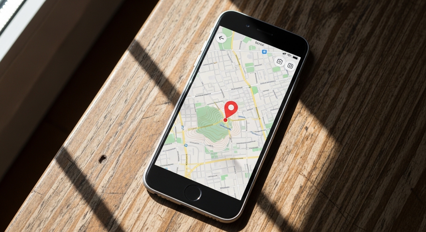
The next time your phone drops a pin on exactly the right building, consider what just happened: signals from satellites moving at 14,000 kilometers per hour, corrected for the warping of spacetime, filtered through atmospheric models, and resolved into a coordinate — all in the time it takes to glance at your screen. The unsettling part isn't that it occasionally gets it wrong. It's that it gets it right as often as it does.



Comments
Post a Comment