Understanding Weather Alerts: Watch vs. Warning Explained
A tornado warning means one has been spotted or detected on radar — right now, in your area. A tornado watch means conditions are favorable for one to form. That distinction sounds simple, but every year people treat them as interchangeable, and that confusion can cost lives. The National Weather Service has spent decades refining this two-tier system, and once you understand the logic behind it, you will never mix them up again.
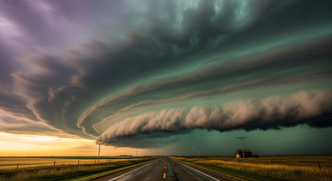
What Do 'Watch' and 'Warning' Actually Mean?
The Core Difference in Plain Language
Think of it this way: a watch is a heads-up, and a warning is an alarm. A watch tells you that atmospheric conditions are ripe for a dangerous weather event to develop within the next several hours. A warning tells you that the event is either already happening or is imminent — typically within minutes.
The National Weather Service issues both, but they serve completely different behavioral purposes. During a watch, you should be paying attention, reviewing your emergency plan, and staying near a source of weather information. During a warning, you should already be moving to safety.
There is also a third tier that often gets overlooked: the advisory. Advisories sit below watches and warnings and cover conditions that are inconvenient or potentially hazardous but not life-threatening — think a winter weather advisory for a few inches of snow on roads.
Why the System Uses Two Tiers
Meteorologists cannot always predict exactly when or where a storm will strike, but they can identify the environmental setup hours in advance. A watch is issued when the ingredients are in place — high atmospheric instability, wind shear, moisture — even if no storm has formed yet. This lead time is intentional. It gives emergency managers, schools, and individuals time to prepare without triggering full panic.
Warnings are issued when radar confirms rotation, when a spotter reports a funnel cloud, or when a storm crosses a threshold of confirmed danger. The window is short. For tornadoes, the average lead time on a warning is roughly 13 minutes — which sounds like a lot until you are trying to get a family of five into a basement.
A watch buys you time to prepare. A warning means preparation time is over.
How the National Weather Service Issues Alerts
The Role of Weather Forecast Offices
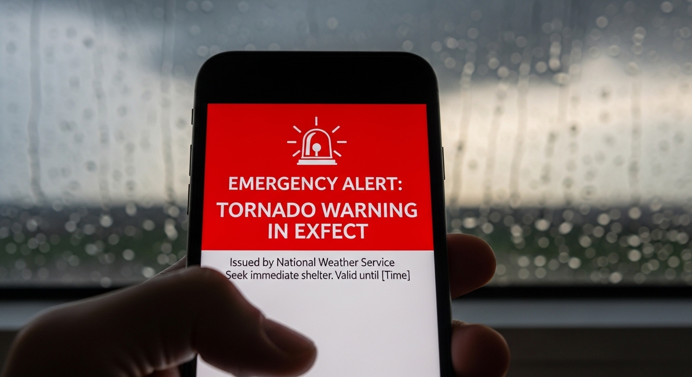
The United States is divided into roughly 122 local Weather Forecast Offices (WFOs), each responsible for issuing alerts for their specific geographic area. When a meteorologist at a WFO spots a developing threat, they draft and issue the alert through a system that pushes it simultaneously to broadcast media, the Emergency Alert System, and wireless phones via Wireless Emergency Alerts (WEA).
That jarring sound your phone makes during a tornado warning? That is WEA, which became widely deployed in the early 2010s. Before it existed, people who were asleep, driving, or simply not watching television could easily miss a warning entirely. Anyone who lived through a major storm before smartphones became ubiquitous probably remembers relying entirely on a weather radio or a neighbor knocking on the door.
Polygon-Based Warnings: A Precision Upgrade
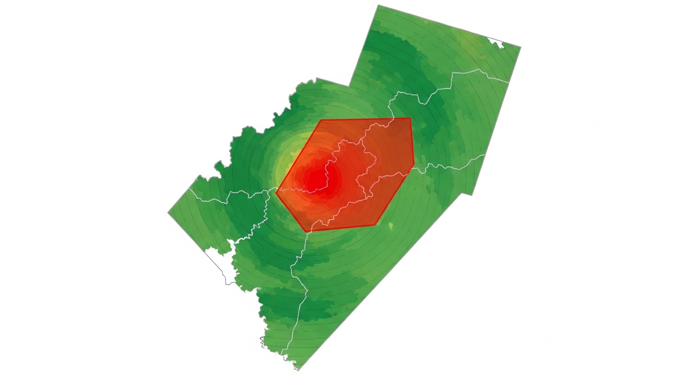
Until 2007, tornado warnings in the U.S. were issued for entire counties — a blunt instrument that often covered hundreds of square miles when the actual threat zone was a narrow corridor a few miles wide. The NWS shifted to storm-based warnings using polygons drawn around the actual projected storm path. This reduced the warned area significantly and improved public response by cutting down on 'cry wolf' fatigue.
The tradeoff is that if a storm shifts slightly outside the polygon, people just outside the boundary may feel falsely safe. Meteorologists are aware of this edge-case problem and typically build a buffer into the polygon boundaries.
How Different Weather Events Use the Watch-Warning System
Tornadoes
Tornado watches are issued by the Storm Prediction Center (SPC) in Norman, Oklahoma — not your local forecast office. They typically cover large multi-state regions and can last six to eight hours. Tornado warnings, by contrast, come from local WFOs and are hyper-specific, often covering just a few counties or a polygon corridor.
The SPC also issues a Particularly Dangerous Situation (PDS) watch for outbreaks where conditions are exceptionally volatile. A PDS tornado watch is rare and should be treated with extra seriousness — these are the setups that produce long-track, violent tornadoes.
Severe Thunderstorms
Severe thunderstorm watches and warnings follow the same logic. A warning is triggered when a storm produces or is expected to produce winds of 58 mph or greater, or hail at least one inch in diameter. In recent years, the NWS introduced a Tornado Possible tag that can be added to a severe thunderstorm warning when radar shows rotation that has not yet been confirmed as a tornado — a useful middle-ground alert.
Winter Storms and Floods
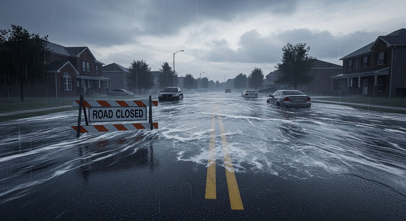
Winter storm watches and warnings work on a longer timeline since snow and ice systems are more predictable days in advance. A winter storm watch might be issued 48 hours out; a warning typically comes within 12–24 hours of onset. Flash flood warnings are among the most time-critical in the entire system — they can be issued with almost no lead time when rainfall rates overwhelm drainage in minutes.
Flash floods kill more people annually in the United States than tornadoes — partly because the warning window can be measured in minutes, not hours.
Why People Misread Alerts — and What That Costs
The Desensitization Problem
Research on public response to weather alerts consistently finds that people who have experienced many false alarms — warnings where the severe weather did not materialize near them — become less likely to take protective action in the future. This is sometimes called 'warning fatigue' or the 'cry wolf' effect. It is one of the most stubborn problems in emergency meteorology.
The polygon upgrade helped, but it did not solve the problem entirely. A storm can weaken before reaching you, or shift track, and you walk away thinking the warning was overblown. Next time, you hesitate.
The Counterintuitive Truth About Overwarning
Here is the part that surprises most people: meteorologists and emergency managers often deliberately err on the side of issuing warnings even when confidence is moderate. The asymmetry of outcomes — a missed warning versus an unnecessary one — strongly favors over-warning. A false alarm costs inconvenience. A missed warning can cost lives. The system is designed around that asymmetry, which means some level of 'false alarm' is a feature, not a bug.
(Opinion: The public frustration with false alarms is completely understandable, but it reflects a misunderstanding of what the system is actually optimizing for. Expecting perfect precision from weather alerts is like expecting a smoke detector to only go off when your house is definitely burning down.)

Frequently Asked Questions
Is a warning always more serious than a watch?
Yes — a warning indicates imminent or ongoing danger, while a watch signals that conditions are favorable for a hazard to develop. However, a watch for a particularly dangerous situation (PDS) can sometimes warrant more preparation than a routine warning, since it signals an unusually high-risk environment across a large area.
Do weather alerts automatically appear on my phone?
Most modern smartphones in the U.S. receive Wireless Emergency Alerts (WEA) for tornado warnings, flash flood warnings, and other imminent threats by default. However, not all alert types are pushed via WEA — watches and advisories typically are not. For full coverage, a dedicated weather app with notifications enabled or a NOAA weather radio provides more complete alert reception.
Why does a tornado watch cover such a huge area?
Tornado watches are issued by the Storm Prediction Center based on large-scale atmospheric patterns — things like jet stream position, moisture levels, and wind shear — that operate across hundreds of miles. The watch area reflects the zone where conditions could support tornado development, not where a tornado is guaranteed. Think of it as the playing field, not the final score.
The watch-warning system is not perfect, and meteorologists are the first to admit it. Storms are chaotic, radar has blind spots, and human behavior is stubbornly hard to predict. But the underlying logic — give people time to prepare, then give them a hard signal to act — is sound. The gap between a watch and a warning is not just semantic. For the roughly 13 minutes between a tornado warning and a tornado's arrival, that gap is everything.



Comments
Post a Comment